You may have read about three of our online tools for Australian agribusiness[Link will open in a new window] a while ago. Here’s three more to help farmers and land managers manage risk, improve biodiversity and also forecast wheat yield.
We watch grass grow so you don't have to
Get the tool: Farming Forecaster[Link will open in a new window]
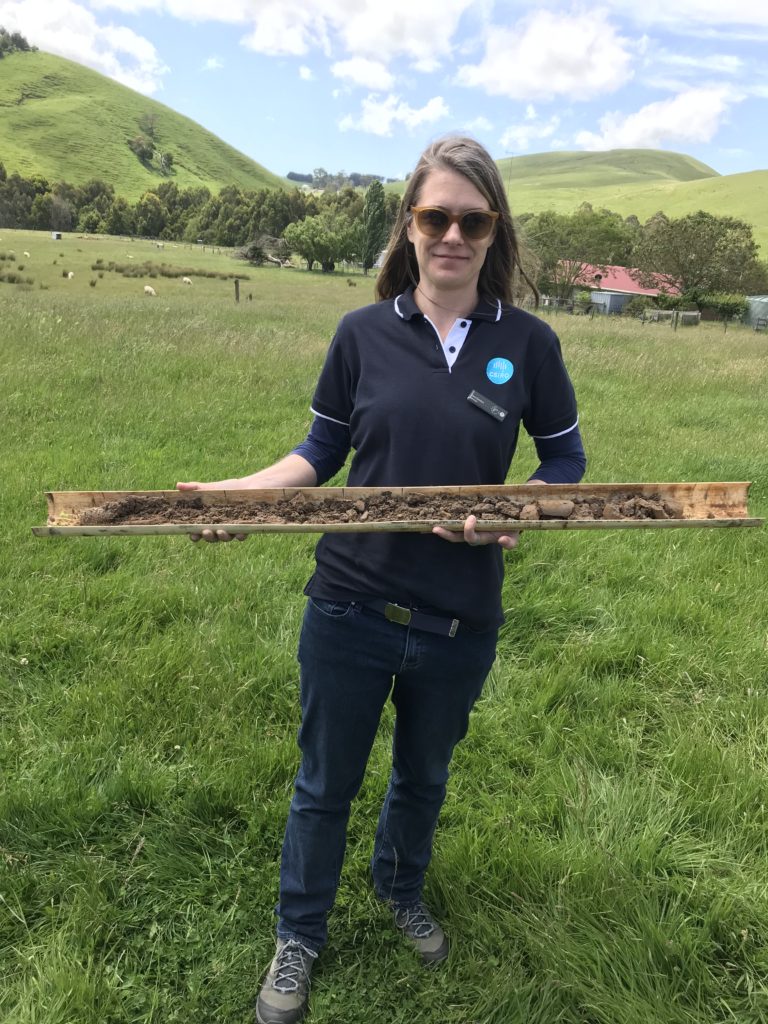
Richard Taylor is a producer in the Monaro Tablelands region of New South Wales. He farms sheep and cattle.
He said farming is a risky business.
“If I'm placing a bet, I need to know what the odds are and make sure they are in my favour. And also what I stand to lose if it goes against me," Richard said.
"Farming Forecaster addresses both of these things.”
Farming Forecaster[Link will open in a new window] helps support decisions and reduce risk for Australian farmers. It provides soil moisture probe information, pasture forecasts and weather all in the same application. It's the most advanced tool available of its kind.
We developed the tool with Monaro Farming Systems and a consortium of farming groups in New South Wales. So it's designed by farmers for farmers.
Launched in 2020, Farming Forecaster uses publicly available data, our farm modelling tool GrassGro and our unique analytical smarts. We produce real-time updates of pasture conditions and forecasts into the next four months.
In April 2022, we added new capability to strengthen producers’ preparedness for dry times or drought. It helps them make timely and informed decisions during increasingly volatile climate conditions.
Farming Forecaster is currently being rolled out in Tasmania, starting with NRM South and other partners.
Have a look-see at biodiversity
Get the tool: LOOC-B[Link will open in a new window]
In our last blog, we told you about LOOC-C[Link will open in a new window], or ‘Look see’. It's a tool for landholders to quickly assess the carbon farming options for their land. Carbon farming includes a set of farming practices that can reduce greenhouse gas emissions. Carbon farming captures and holds carbon in plants and soil.
Since then we’ve developed a related tool, LOOC-B[Link will open in a new window] (‘Look bee’). LOOC-B looks at the biodiversity co-benefits, or consequences, of land management actions such as carbon farming. It can show how different management strategies influence the habitats for native plant and animal diversity. It currently provides two biodiversity metrics, habitat condition and biodiversity persistence. We plan to add more metrics in the future.
Current biodiversity monitoring involves laborious on-ground assessments. They are limited for identifying wider biodiversity patterns or forecasting potential future benefits. At the same time, there are new demands for biodiversity monitoring by government programs and organisations looking to report on their sustainability activities.
The aim of LOOC-B is to provide rapid, consistent and standardised monitoring of biodiversity changes for a piece of land over time. It uses machine learning, the best available data sources, advanced scientific modelling techniques and human centred design. All while covering any scale, anywhere in Australia.
We provided a first public release of LOOC-B to farmers, land holders, and data service providers at the National Carbon Farming Conference last month. Soon their feedback will help us refine the tool.
Anyone can use the tool right now for free, although it is still in development. We anticipate releasing LOOC-B for commercial use in the coming months.
Knowing wheat’s coming
Get the tool: Wheatcast™[Link will open in a new window]
Australia is one of the world’s major growers of wheat. We grow about 60 million hectares[Link will open in a new window] in 1.7 million paddocks[Link will open in a new window]. To help the grain industry, we developed a national grain growing monitoring and forecasting system. Wheatcast™[Link will open in a new window], formerly known as Graincast™ forecasting technology, is an Australian first.
Wheatcast™ uses our innovative analytics and data from the Bureau of Meteorology and the Australian Soil and Landscape Grid. It also uses the agricultural production model, APSIM®[Link will open in a new window].
Each fortnight during the grain growing season, we post free, select forecasts of Australia’s national and state wheat yields.
Forecasts for 2022 began in April. As at 1 June, Wheatcast’s™ median national forecast for 2022 is 2.57 tonnes per hectare, which is above the 15 year national average of 1.82 tonnes per hectare. So it's good news for farmers at this stage!
See our latest fortnightly forecast.