CSIRO, Australia's national science agency, is working with key agencies and community groups to support research underway throughout bushfire impacted areas.
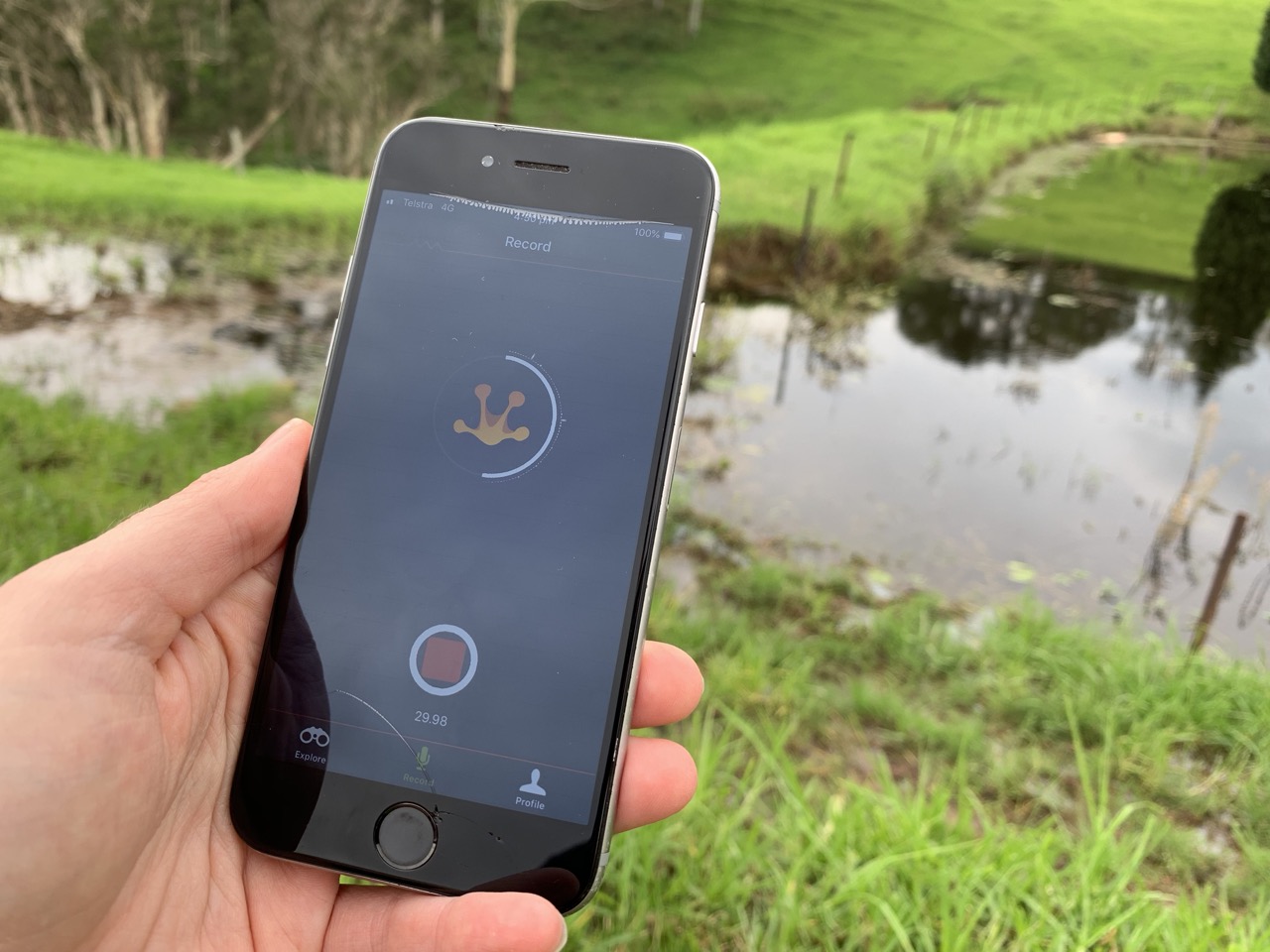
The Citizen Science Bushfire Project Finder website allows members of the public to contribute to projects ranging from air quality, to identifying and confirming animal and plant sightings while maintaining safe social distancing practices.
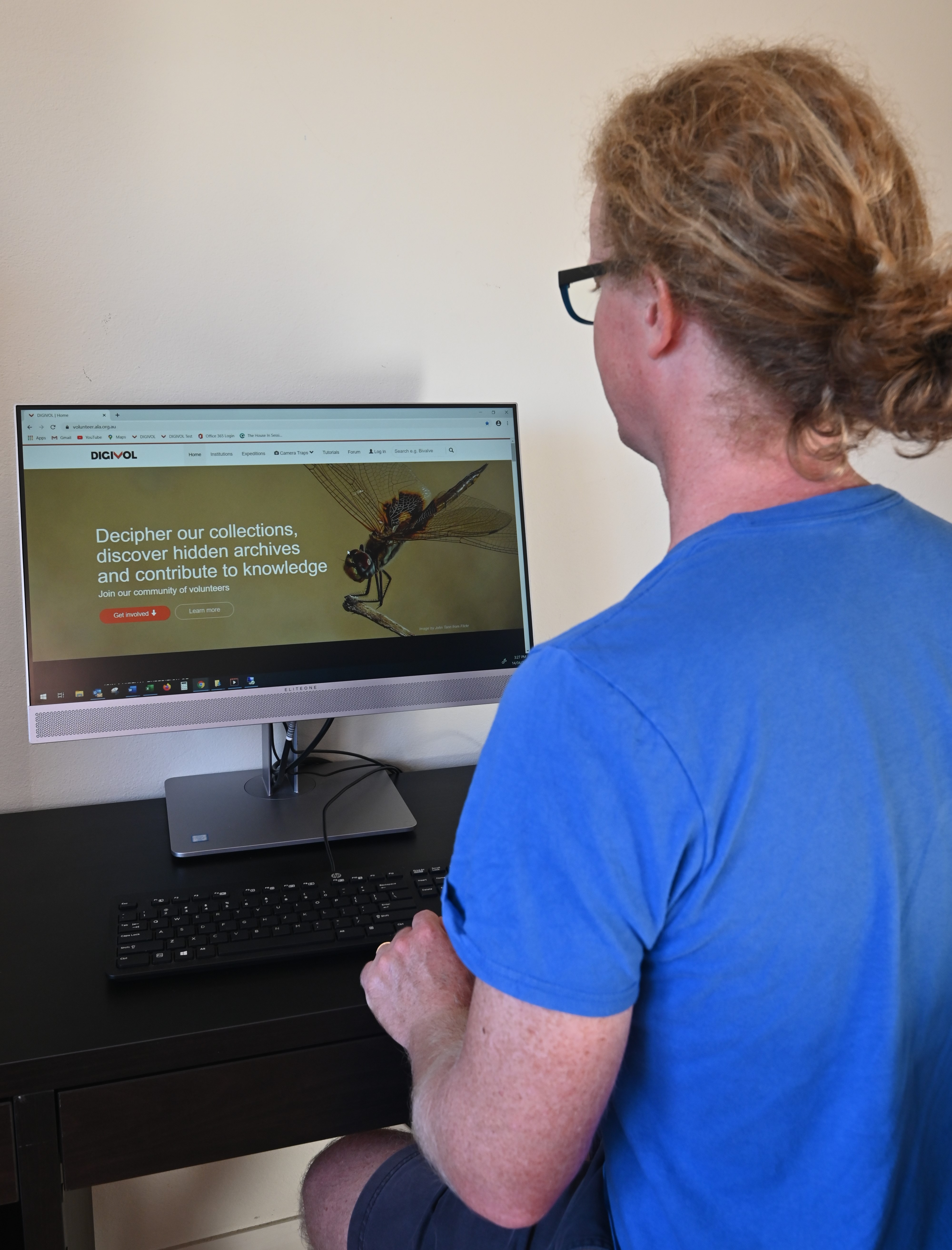
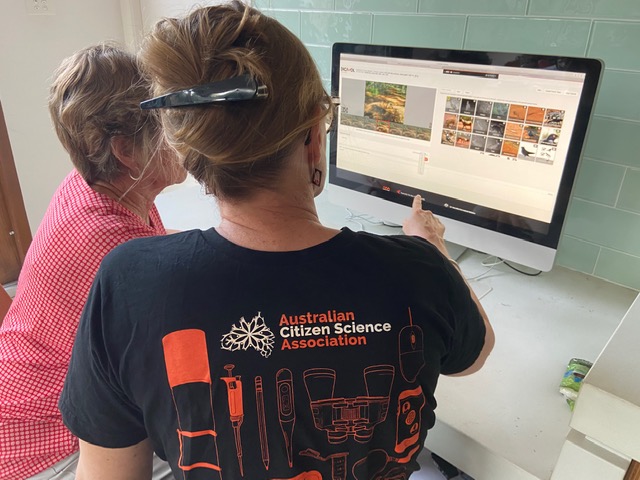
People can also get involved online by identifying animals in camera images.
Announcing the new website today, CSIRO Chief Executive Dr Larry Marshall said it drew on the passion and commitment of scientists and citizens alike to solve bushfire challenges.
"We're using cutting-edge science like artificial intelligence, satellite imaging, and seasonal and decadal climate modelling to respond to fires and get ahead of the next bushfire season.
However, the model is only as good as the data we feed it, and there is no substitute for the power of the people to keep us firmly connected with reality on the ground," Dr Marshall said.
"Australia has some of the greatest biodiversity on the planet, and the Atlas of Living Australia has already proven the power of citizen science – what better way to inform and guide our bushfire recovery."
The initiative is a key outcome from the Bushfire Science Roundtable hosted in January by Minister for Industry, Science and Technology Karen Andrews and comes at a time when Australians are eager to actively participate.
"As we grapple with the challenges of the coronavirus pandemic, it's important we continue important work to make sure we're prepared for the next bushfire season and this is a fantastic program that allows all Australians to get involved while still observing social distancing," Minister Andrews said.
"Despite the challenges we are facing, the Australian spirit remains strong and it is obvious that our citizens are eager to do their part in the bushfire recovery process."
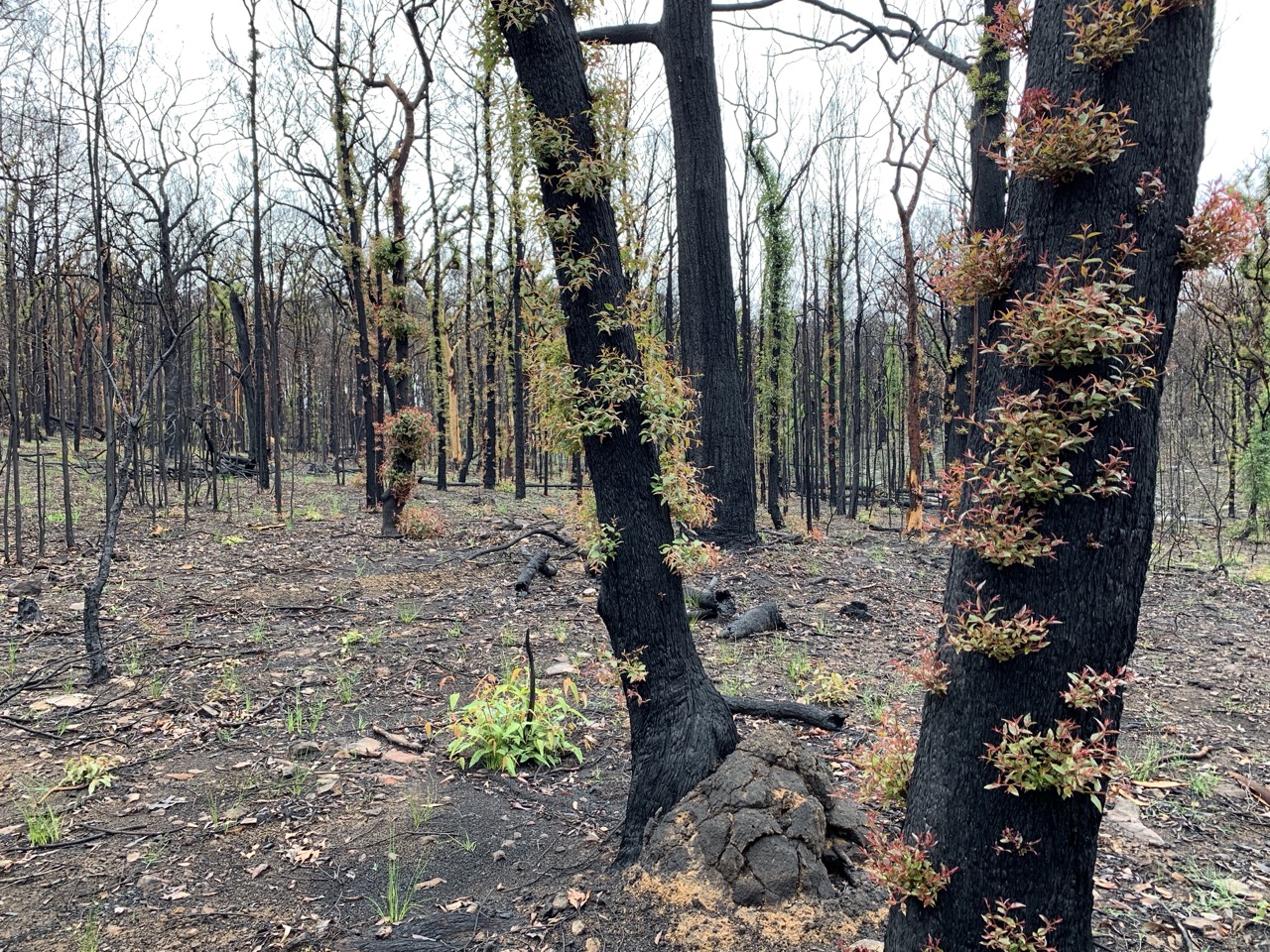
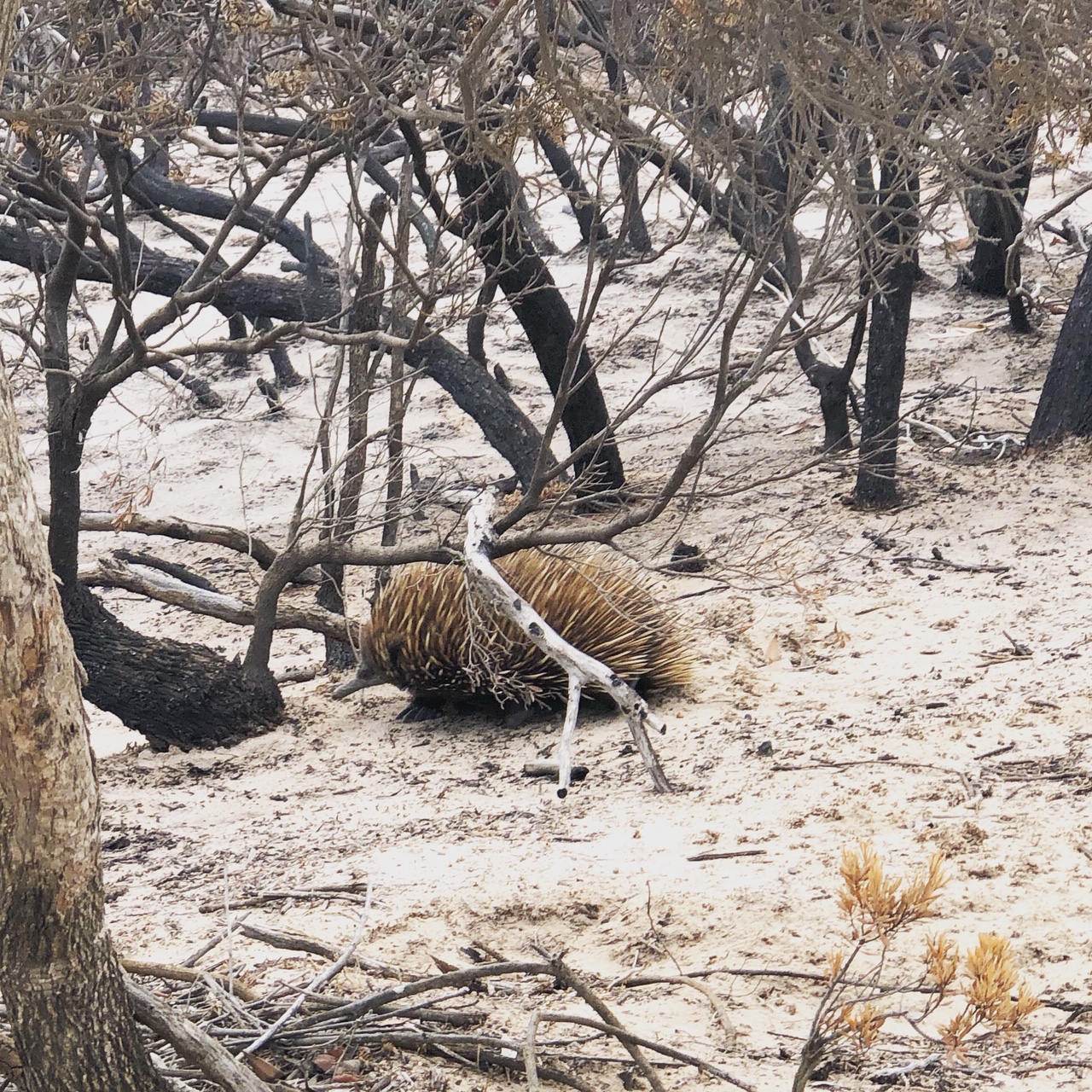
As well as the devastation and the economic, social and psychological impacts on affected communities, the bushfires took a heavy toll on wildlife and affected water and air quality.
Projects on the website include:
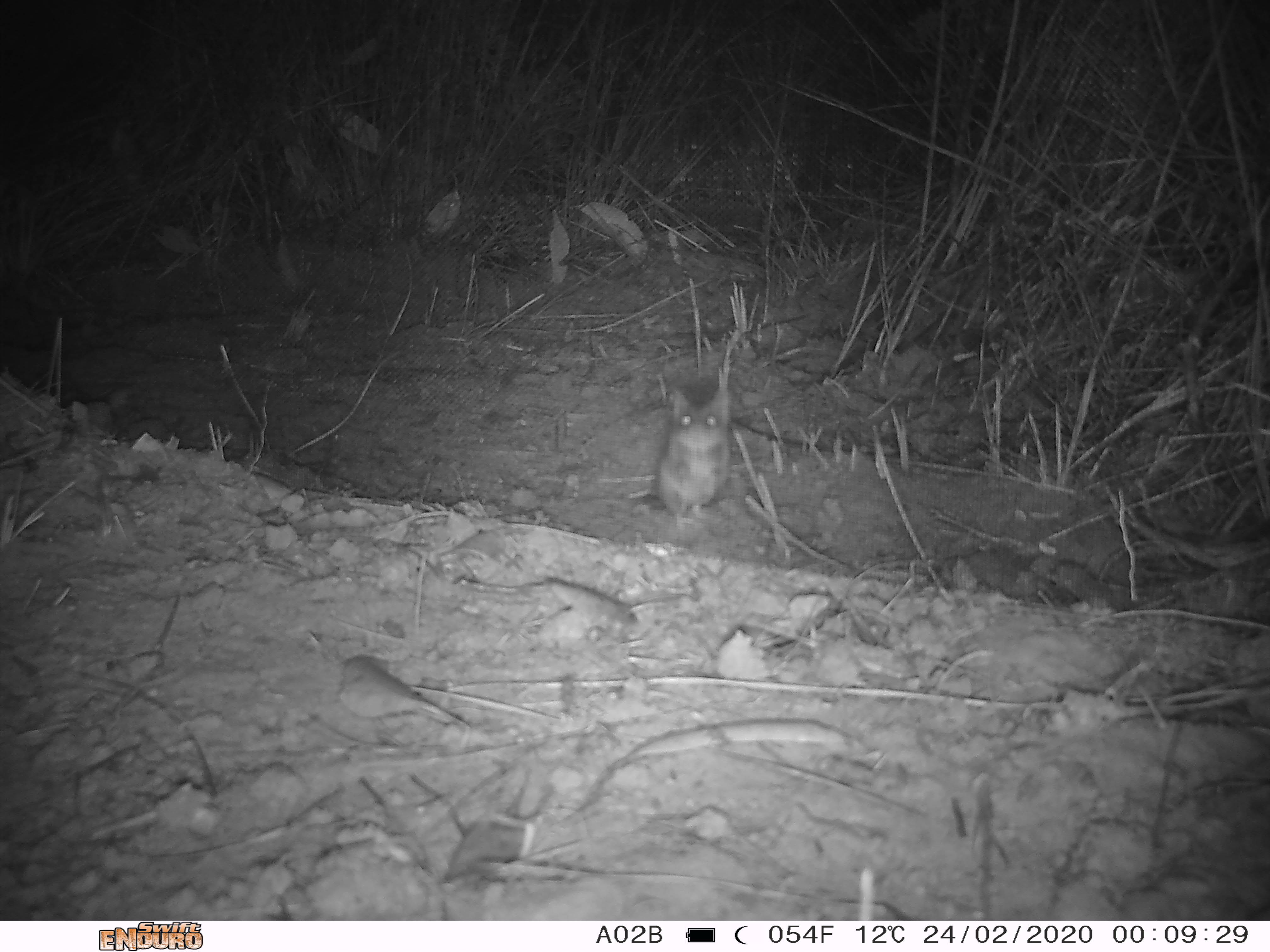
- Australian Museum project Wildlife Spotter enables users to identify animals in photos taken by camera traps around Australia, assisting researchers in monitoring the effects of bushfires on Australian fauna.
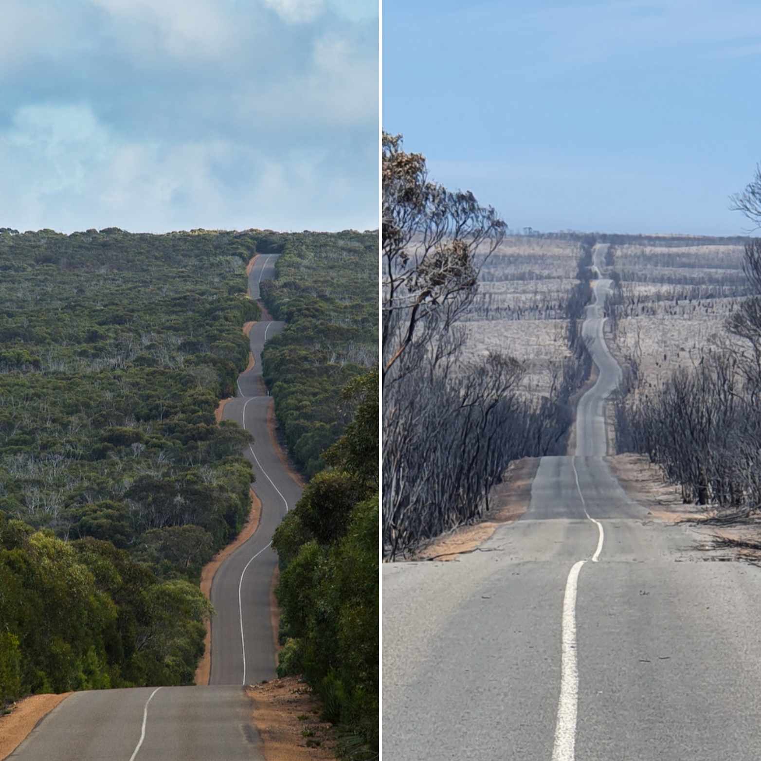
- South Australia's Department for Environment and Water are using camera traps to monitor the flora and fauna recovery on Kangaroo Island.
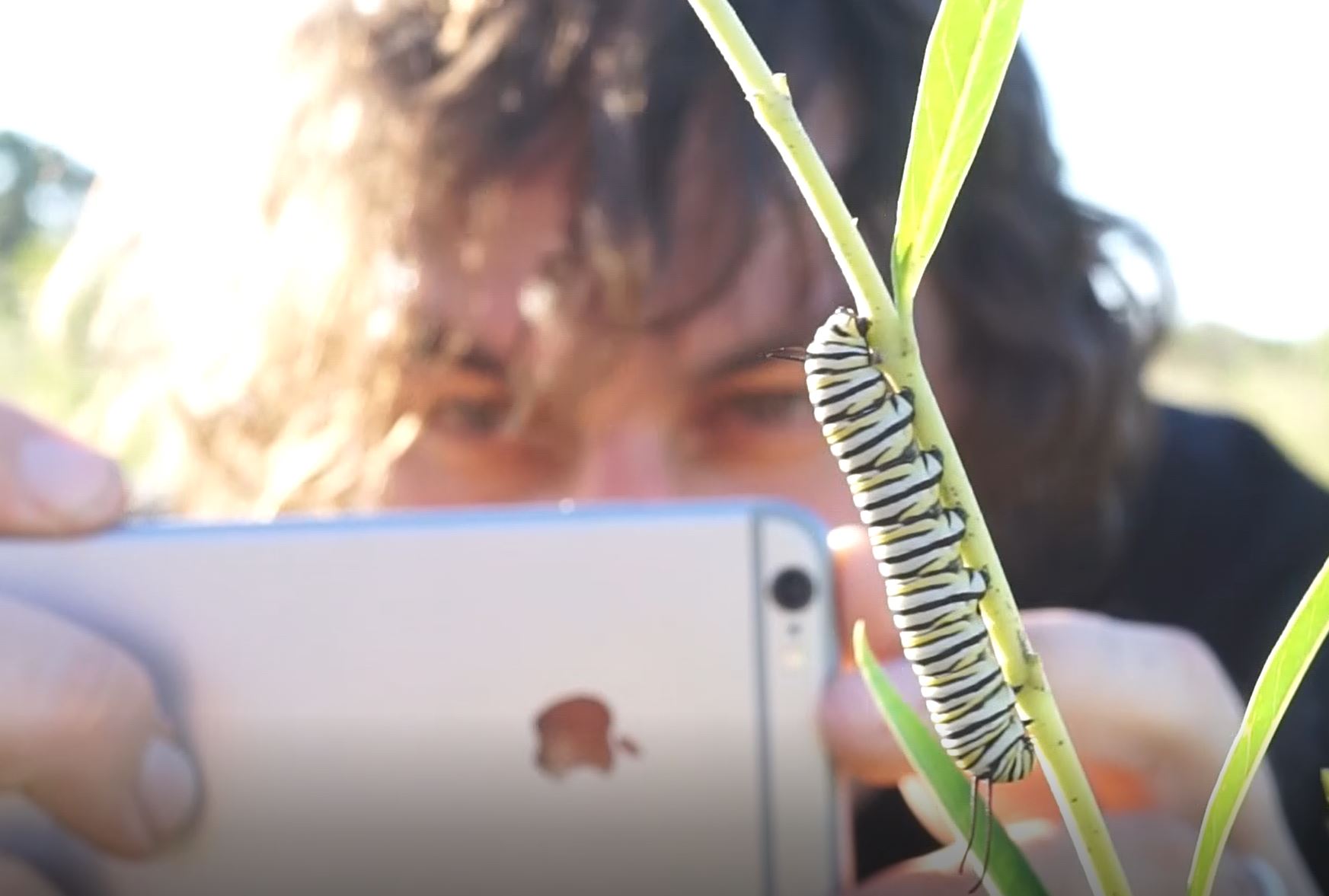
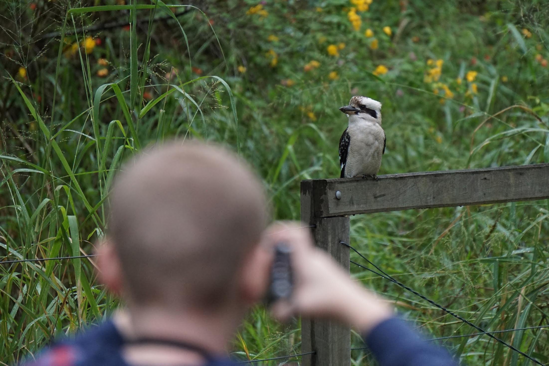
- There are several projects which people can contribute their sightings of plants and wildlife returning to fire affected areas.
- Some projects also collect information about the intensity of fire impacts, observed fire behaviour, effects on water quality running off of fire grounds, and impacts of the smoke on people's health.
The website was developed in collaboration between CSIRO, the Atlas of Living Australia (a National Collaborative Research Infrastructure Strategy capability) and the Australian Citizen Science Association.
The Project Finder also features a geographic filter enabling users to identify available projects in their area. It can be accessed at www.csiro.au/bushfireprojects.
More information about CSIRO's emerging citizen science work is available at www.csiro.au/citizenscience.
The announcement further underlines the leading role science is taking in Australia bushfire recovery efforts.
AVAILABLE for interview:
Andre Zerger - Chief Executive of Atlas of Living Australia
Erin Roger - Australian Citizen Science Association
Paul Flemons - Australian Museum’s Wildlife Spotter
Melissa Martin - South Australia Department for Environment and Water, Kangaroo Island