CSIRO, Australia’s national science agency, has this week released LandScape+, a new online tool to help geologists interpret their geochemical data and plan follow-up exploration programs to target new resources across a range of commodities including gold, lithium and copper.
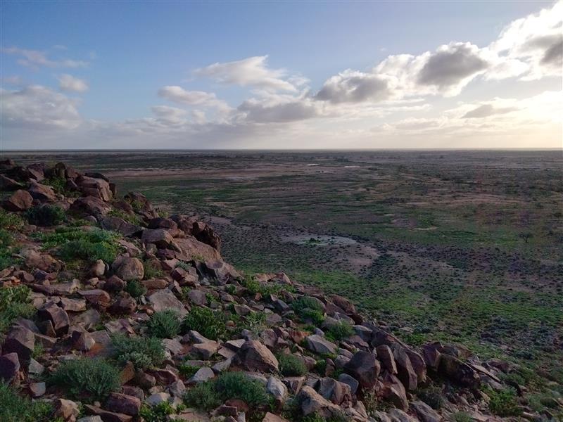
Mineral exploration in Australia is challenging because much of the land is covered by a thick layer of loose soil, sand, and broken-down rock – making it harder to detect signs of the valuable minerals beneath. Much of Australia is also remote and difficult to access to map the surface effectively.
LandScape+ uses remotely sensed data to create landform maps informed by machine learning at a 30-metre resolution for mineral exploration, reducing the need for extensive, on-the-ground observations. It then integrates surface geochemistry for better, faster, and easier interpretation of soil survey results.
Dr Anicia Henne, CSIRO Senior Research Scientist, said the web-based tool allows users – like exploration geologists – to interpret their geochemical data in the context of the landscape, unlocking new insights and opportunities in underexplored and remote regions.
“Exploring through the regolith is notoriously difficult and interpreting geochemical results is time consuming and often requires specialist knowledge,” Dr Henne said.
“We developed Landscape+ to simplify this process.”
By highlighting unusual soil samples across diverse landscapes, the software tool enables mineral explorers to refine their search with context.
“This gives exploration geologists the opportunity to rapidly interpret soil sampling results in context and create maps, especially in underexplored greenfield sites.” she said.
LandScape+ can generate maps at various scales, from 25 km² to 2,000 km², allowing explorers to assess their tenements efficiently, saving early-stage costs while accelerating tenement evaluation.
Key features include:
- User-friendly interface that simplifies complex data interpretation
- High-resolution mapping (30 metre resolution) covering expansive areas in mere hours
Users can purchase a license to access LandScape+, and create landscape models for their exploration tenements and data.
Landscape+ is the latest in a suite of digital data analytical tools and data products in the eXploration Toolkit (XT) developed by CSIRO to accelerate mineral discovery and exploration
Find out more about LandScape+.
Links:
LandScape+ Application: https://workbench.exploration.tools/landscape
LandScape+ User Guide: https://docs.exploration.tools/landscape/