Key points
- As of September 2023, an El Niño event is now underway in the Pacific.
- El Niño is one of two primary phases of the El Niño-Southern Oscillation (ENSO), along with its sister, La Niña.
- These phases can have a huge impact on Australia – from rainfall to drought to extreme events.
It's official: an El Niño event is now underway across the Pacific.
With hotter and drier conditions expected for this summer, it's time for a refresher on El Niño and how his sister, La Niña, fits into the mix.
El Niño and La Niña are the two primary phases of the El Niño-Southern Oscillation (ENSO). They affect wind, clouds, and ocean temperatures in the eastern and central Pacific. And while this is far from the shores of Bondi, these phases can have a huge impact on mainland Australia – from rainfall to drought to extreme events.
This makes ENSO one of the most important climate drivers in our region. Outside of Australia, ENSO affects every single other continent in the world, particularly South America, Africa and Asia.
Other climate drivers affect us too, including the Southern Annular Mode (SAM), Madden-Julian Oscillation (MJO), and Indian Ocean Dipole (IOD).
El Niño or La Niña: what’s the difference?
ENSO is responsible for changes in our weather patterns roughly every two to seven years. The last El Niño we experienced was in 2015/16.
When the central and eastern equatorial Pacific is warmer than normal, it is called the El Niño phase, “the little boy” in Spanish. When it is cooler than normal, it is called La Niña, or “the little girl.”
These warmer-than- or cooler-than-usual events generally last for several months in a row, and in some cases, longer.
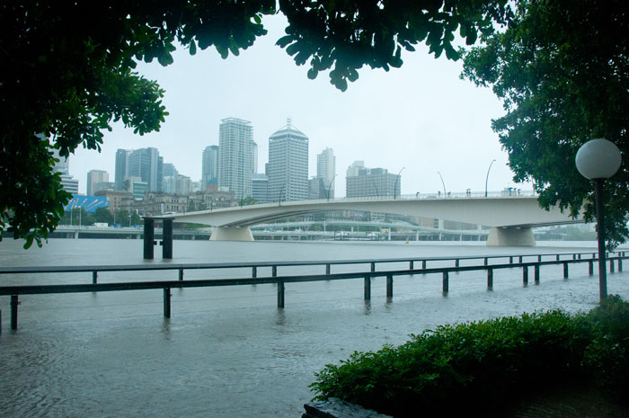
La Niña: the little girl who brings floods and cyclones to Australia
Many of us on the east coast would prefer to forget the ‘triple-dip’ La Niña that ended in early-2023. It took place across a rare three consecutive years. Here’s a quick science reminder.
When La Niña visits, about once every two to seven years, she hitches a ride with strong trade winds blowing from east to west. La Niña makes the winds blow stronger from the Americas to Australia across the Pacific Ocean.
The Pacific winds take some of the surface water on a journey to Australia’s landmass, warming the surface water as they blow. This means we start to see warmer than usual waters collect in our oceans around Australia and Indonesia.
Warmer waters bring more evaporation, which leads to more condensation, which leads to more clouds and rain. And just like that, you can thank Niña for those heavy downpours and flooding events.

El Niño: the little boy who dampens rainfall and turns up the heat in Australia
What about when El Niño visits? He’s the opposite. El Niño arrives when the winds from the Americas weaken from east to west. This means warm water that begins to gather in the Americas doesn’t make it to Australia. Warm surface water that is normally being pushed across to the west (Australia’s east coast), is now staying in the east side of the Pacific Ocean. Suddenly the Americas have warm water, and Australia and Indonesia are both left with cooler water in the surrounding oceans.
Cooler water surrounding Australia and Indonesia can have a big impact on rainfall during El Niño years. Cooler water in this area means there is less evaporation, less condensation, and less rain. This means an increased risk of droughts, heatwaves, and bushfires in north-eastern Australia.
Interestingly, in North and South America, El Niño causes the opposite – floods and more cloudy days.
You may have also heard of Ash Wednesday in 1983? That occurred during El Niño too.
Like ENSO, the Indian Ocean Dipole (IOD) has positive and negative phases. As at September 2023, a "positive" IOD has also developed. When the a positive IOD and El Niño occur together, their drying effect is typically enhanced.
El Niño and La Niña disclaimer
No two El Niño or La Niña events are the same. It’s important to note extreme events like drought and floods can happen in the neutral phase of ENSO. It’s best to think of ENSO as ‘weighting the dice’.
While ENSO might make certain events such as high ocean temperatures more likely, it all comes down to the flavour, strength, and timing of any ENSO phase. In addition to flavour, whatever else is going on in the climate system at the time also plays a role in what eventually occurs.
ENSO it goes
The Bureau of Meteorology keeps watch on how ENSO is tracking in Australia by producing ENSO alerts every two weeks. By understanding ENSO, you can better understand the climate in Australia, and different trends that are happening around the world.
