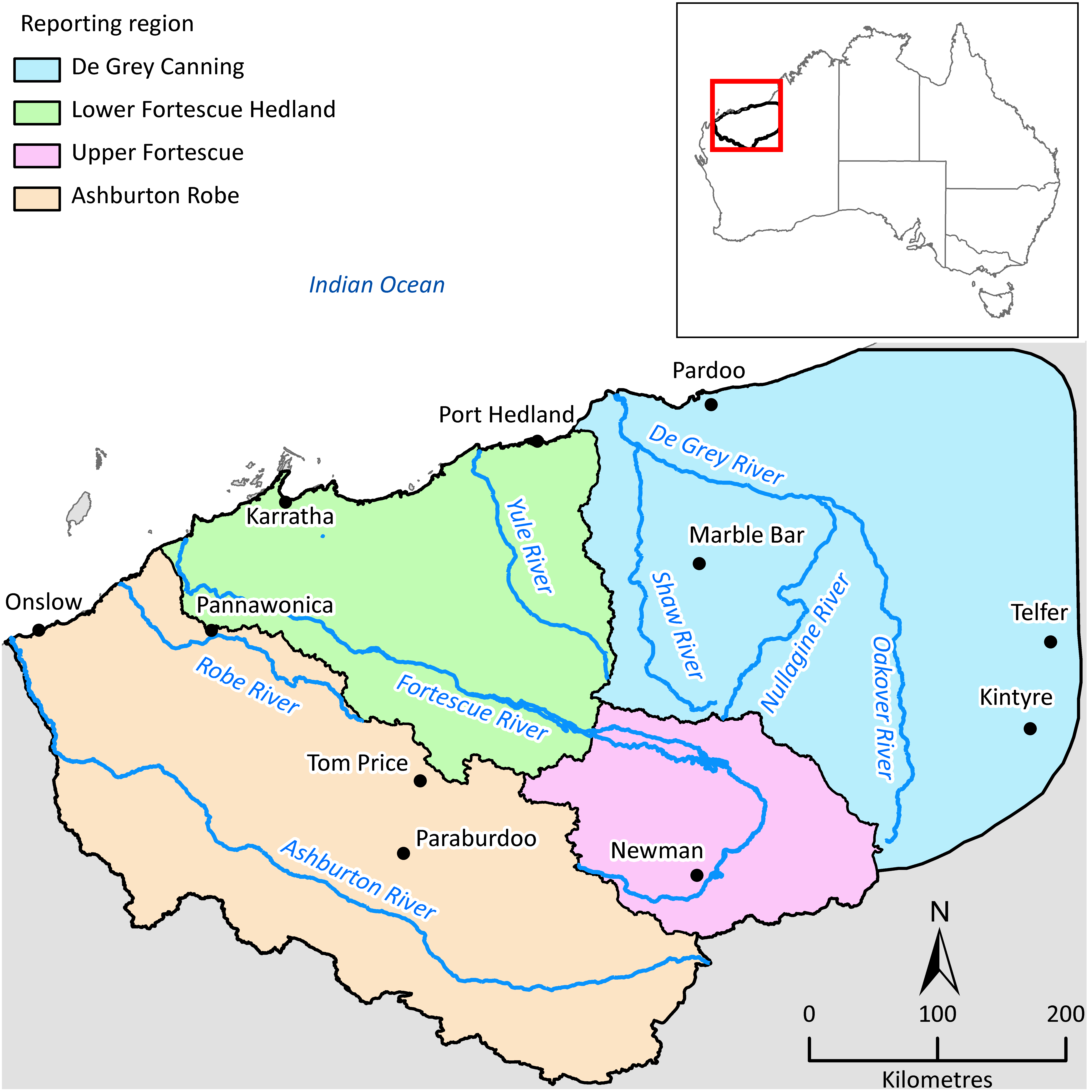
The Pilbara Water Resource Assessment project, a $3.5 million partnership between CSIRO, BHP Billiton and the Government of Western Australian, will allow water managers and local industry to plan for future water use in an area rich in resources and environmental assets.
"Knowing how the water systems operate right across the region, such as how groundwater is affected by rainfall and storm events, helps with the planning and management of local water use," said CSIRO's Dr Don McFarlane, the project leader.
"By helping to put a lot of smaller local water resource investigations into a broader context, this study provides a strong framework for water managers and local industries well into the future."
BHP Billiton said its contribution to the project reflected the Company’s commitment to responsible and sustainable water use at its Pilbara-based iron ore operations.
"The study provided an opportunity to discuss our regional water resource key considerations and highlight the areas requiring further investigation," said Blair Douglas, BHP Billiton Iron Ore's Water Practice Lead.
"The collaboration between industry and scientists in both the state and federal governments has delivered a comprehensive outcome. The fundamental science delivered by the study can be applied by industry to achieve practical and sustainable water management solutions."
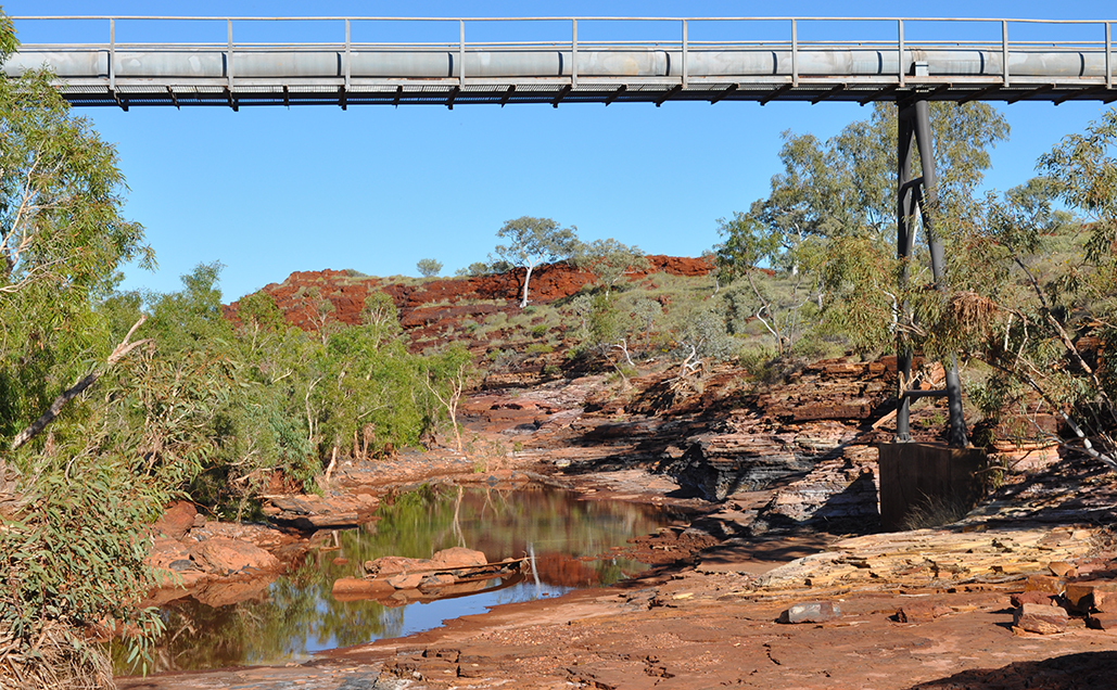
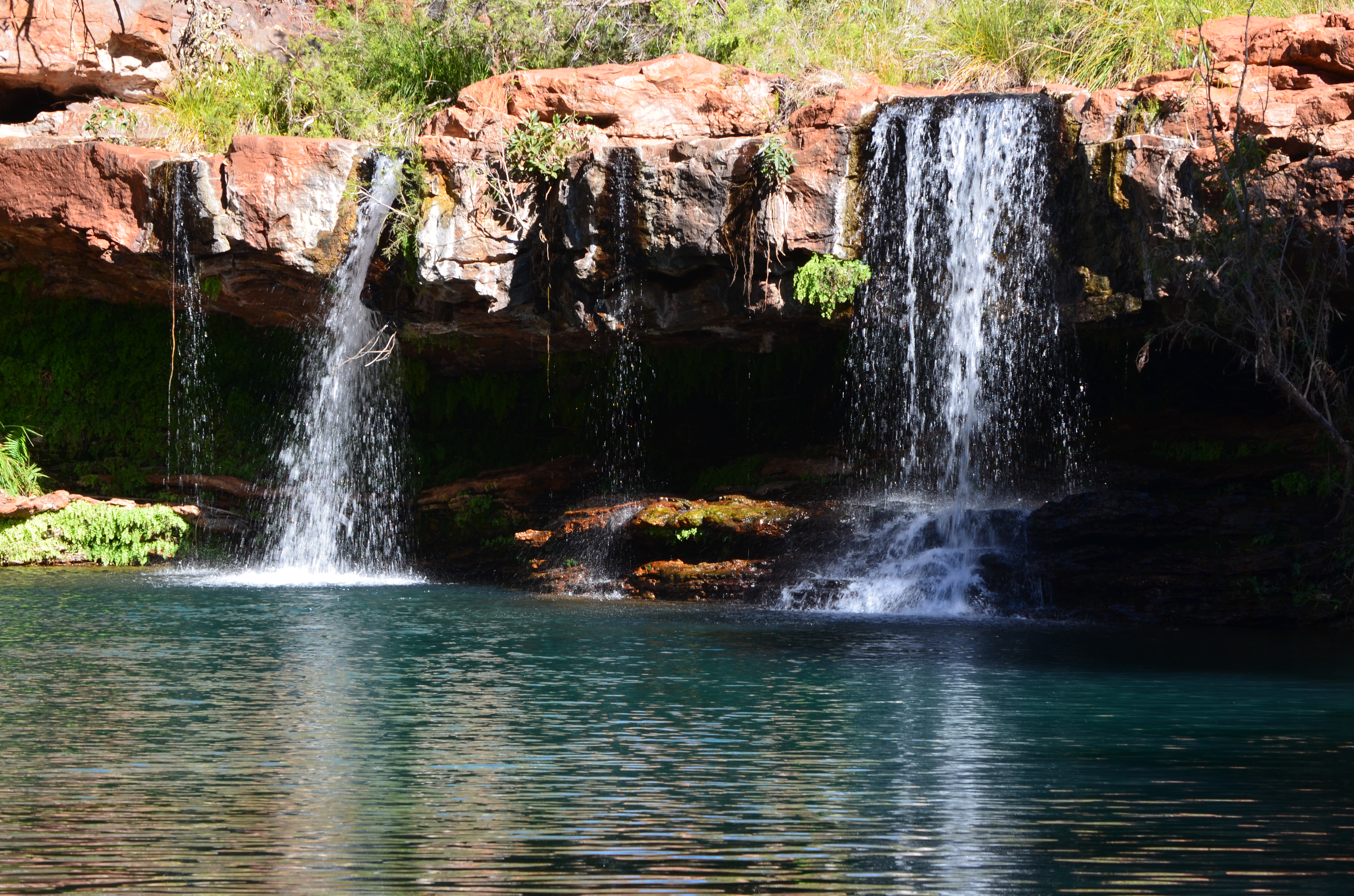
The study revealed some of the mechanisms responsible for filling the Pilbara's groundwater stores. It found that between 8 and 30 millimetres of rainfall is required before runoff starts in most catchments, which leaks through streambeds to provide the main source of aquifer replenishment. Water from these shallow alluvial aquifers then recharges deeper paleochannels or dolomite aquifers, which can store large quantities of water in inland areas.
It also examined how ecosystems dependent on the region's groundwater sources have changed as a result of wet and dry periods, finding they expand during wet periods and contract during dry periods but have remained relatively stable in number over the past 23 years.
The Assessment was funded by a $0.5 million contribution from BHP Billiton and $1.5 million each from CSIRO and the Government of Western Australia through the Royalties for Regions program. The research project was led by CSIRO and overseen by officers from the Department of Water, BHP Billiton, the Pilbara Development Commission and the Water Corporation.
View the final assessment reports at Pilbara Water Resource Assessment.
Images
Background information
More findings from the Assessment:
- Groundwater is currently the main water resource used by most Pilbara towns and industries and this is likely to continue in future.
- Thirteen hydrogeological provinces were defined to integrate complex relationships between climate, topography, soils, drainage, geology and hydrogeology.
- Only 2 to 14 per cent of rainfall in the Pilbara runs off and only about 17 per cent of runoff recharges the region's aquifers. Most runoff discharges to the ocean in cyclonic events.
- By 2030 and 2050 the climate is likely to be about 1 and 2°C hotter respectively, compared with temperatures in the 1980s.
- Wet, median and dry scenarios were used to assess how climate may change future hydrology because the future climate is uncertain.
- Runoff is projected to reduce by between 39 per cent and 61 per cent under a future dry climate, increase by between 18 per cent and 25 per cent under a future wet climate, and within 10 per cent of historical values under a median future climate.
- The west Pilbara has experienced a drying trend since about the 1970s as winter cold fronts no longer extend as far north.
- There has been progressive wetting from the east since about the 1960s that is now reaching almost the entire Pilbara. It is unclear whether this wetting will continue because a number of Global Climate Models project a slightly drier future, similar to that being experienced in eastern Australia located at similar latitudes.
- Shallow alluvial aquifers, mainly in coastal areas, have a total allocation limit of 142.6 GL/year. Modelling has shown that recharge does not reduce proportionally with reductions in streamflow under a future drier climate.
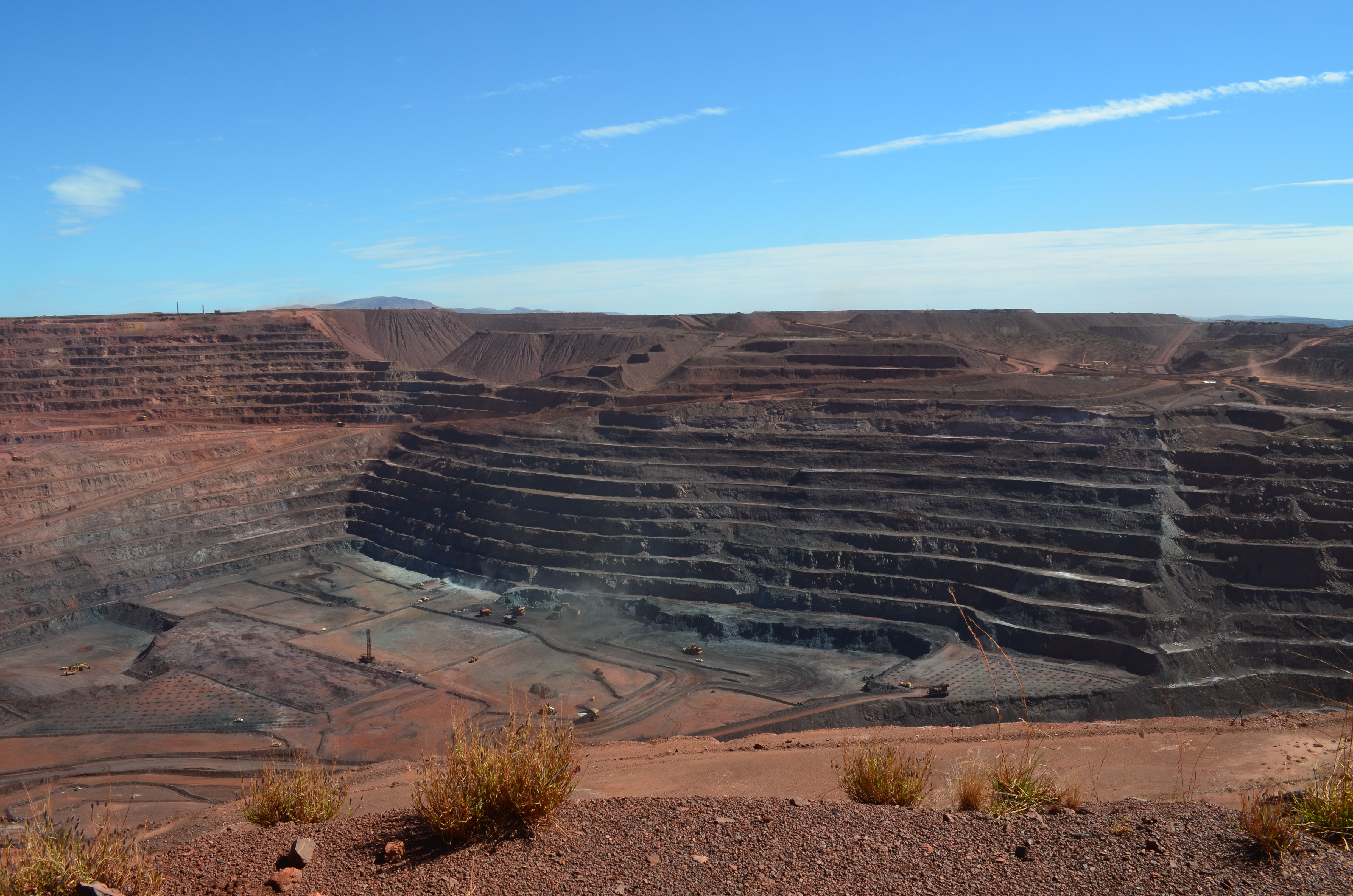
- Inland aquifers are being increasingly dewatered to access iron ore deposits and to provide water for companies. About 350 GL/year was extracted in 2013 and about 200 GL/year is added back to the environment. Once mining ceases these aquifers will recover at rates which will depend on their connection with other aquifers and rivers.
- The greatest variety of groundwater-dependent ecosystem types and variability between wet and dry periods occurs in the Hamersley Range province.