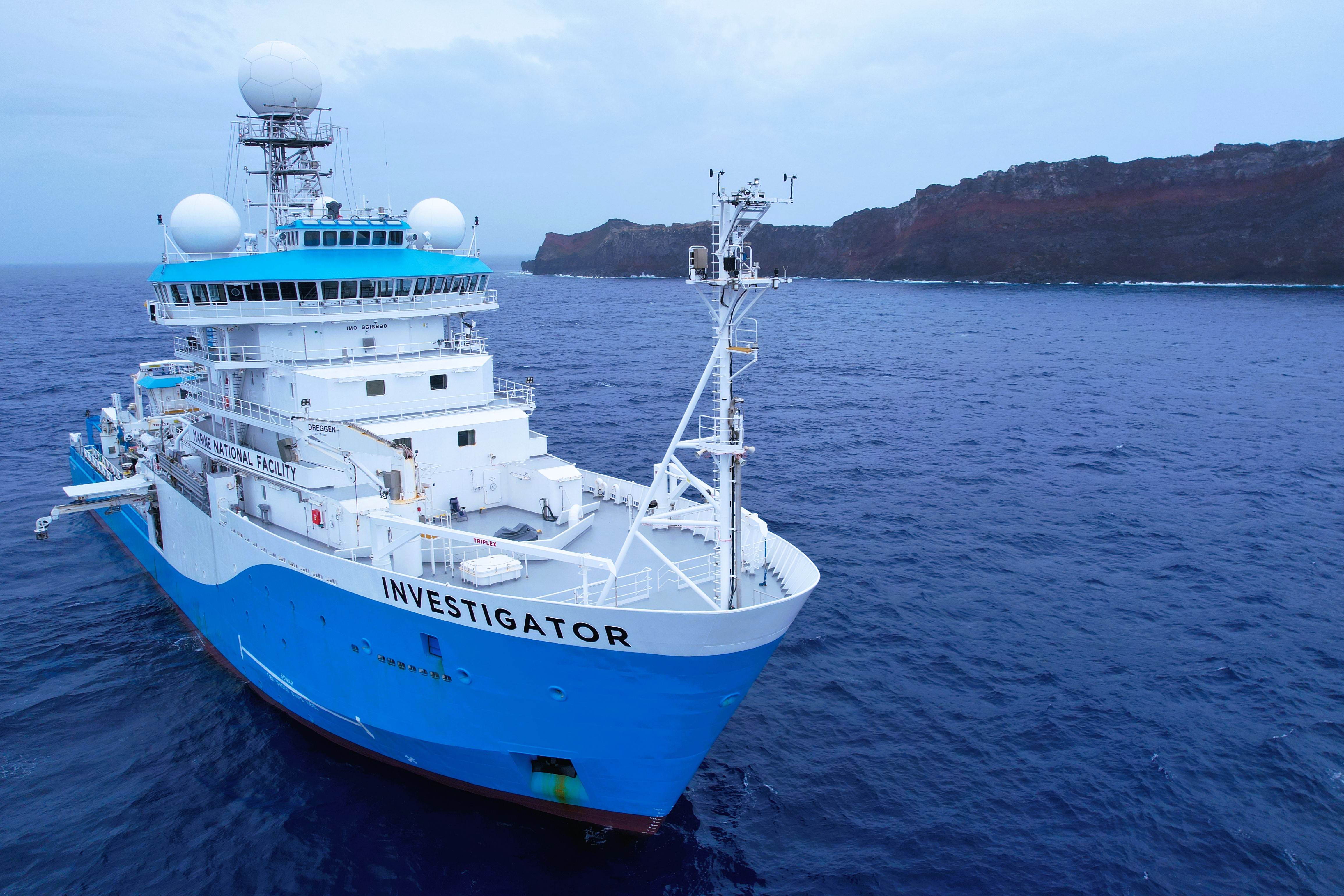
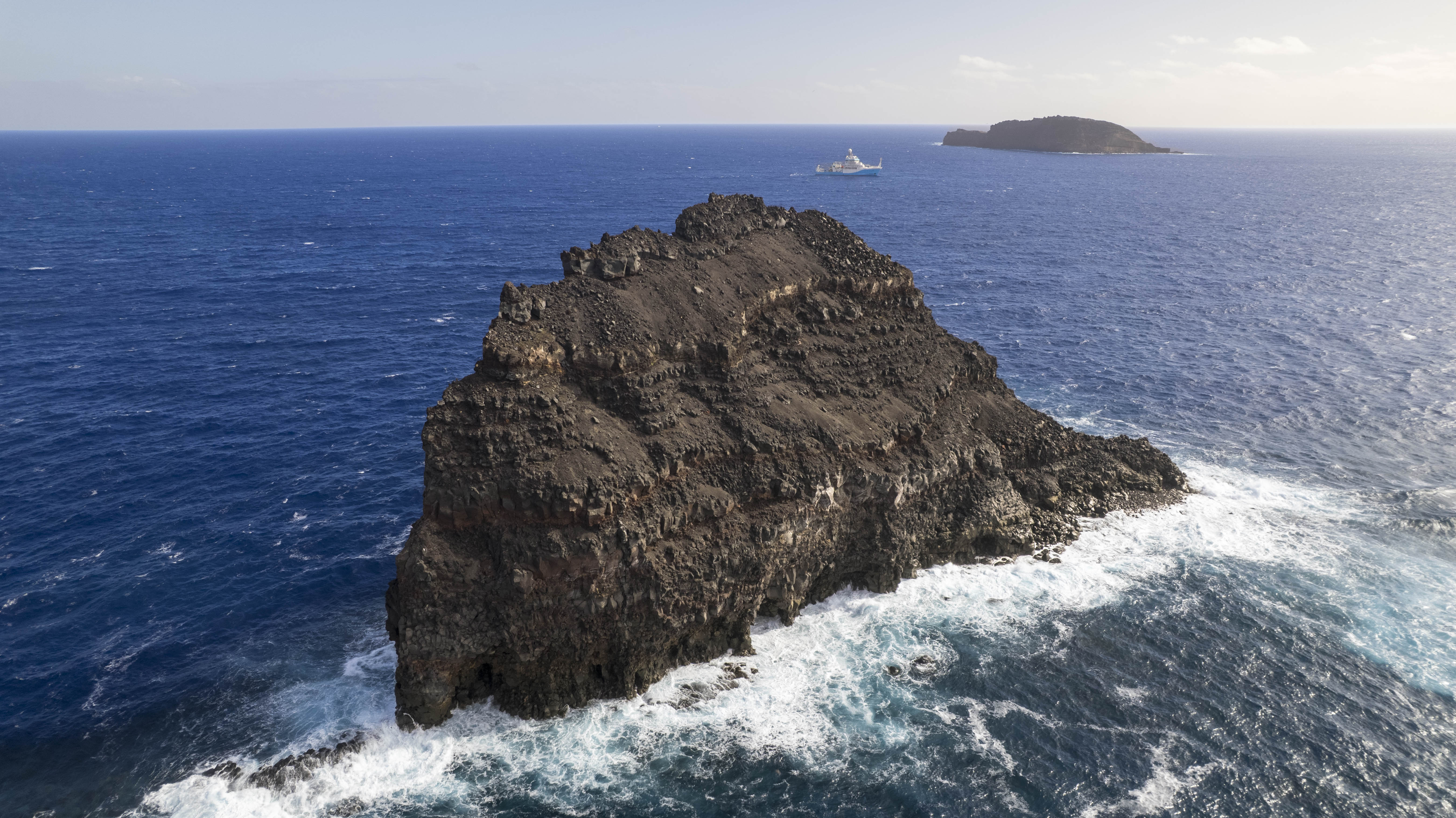
A collaborative research team led by University of Tasmania scientists has returned from a major 54-day voyage on CSIRO research vessel (RV) Investigator to explore the impacts of the devastating 2022 eruption of Tonga's underwater Hunga Volcano.
The international team of 40 researchers last week completed their research in and around the submarine volcano, which erupted in January 2022 with devastating force. The blast sent an ash column 58 kilometres into the sky, triggered a Pacific-wide tsunami and blanketed 100 kilometres of seafloor around the volcano, as well as nearby Tongan islands, with fine volcanic ash.
The eruption also severed Tonga's undersea telecommunication cables, cutting the nation off from the world for weeks and disrupting daily life for thousands of Tongans.
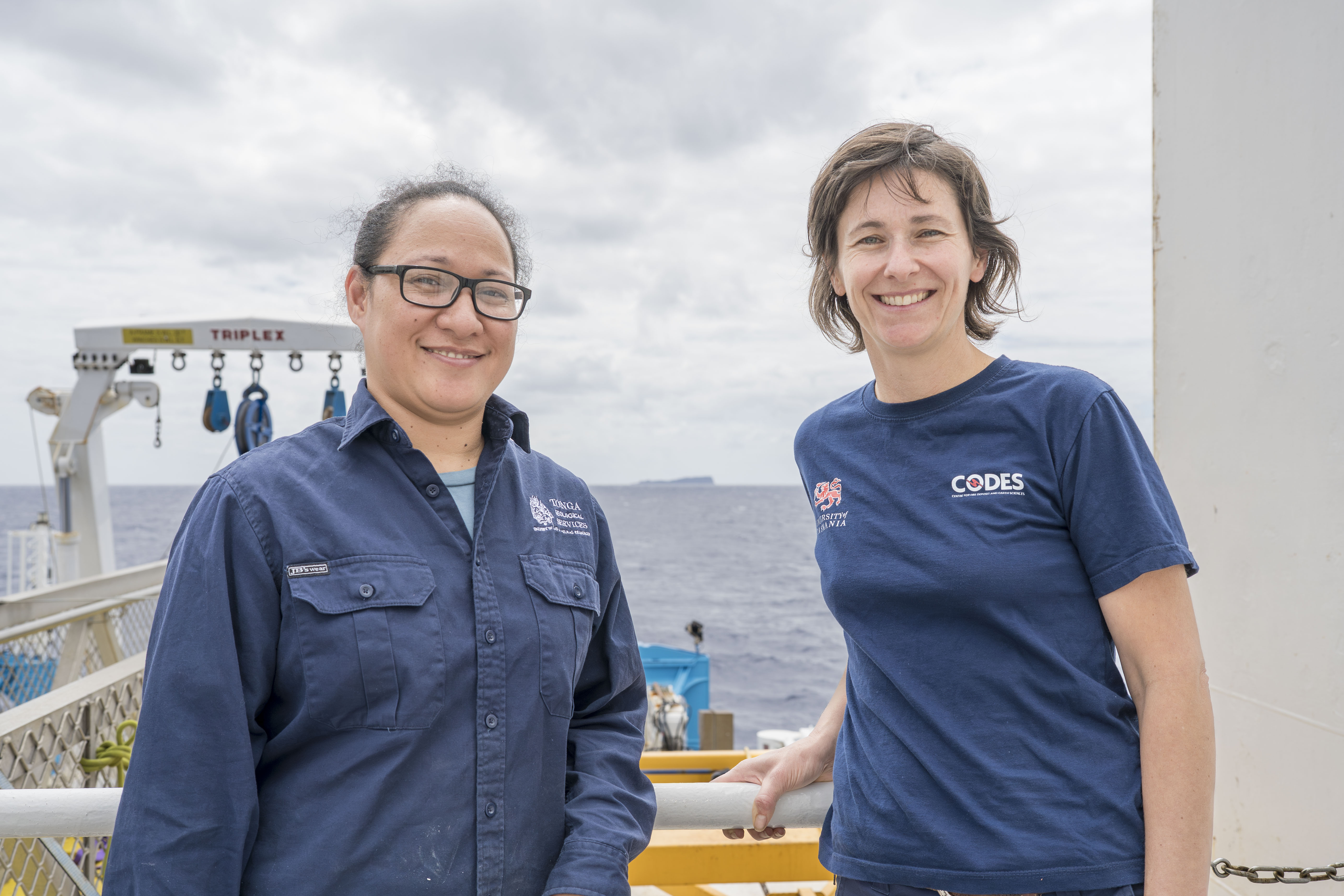
Now, more than three years later, the research team, which included a scientist from the Tonga Geological Services, has gathered crucial data to understand the dynamics of such a powerful eruption and how the volcano, seafloor and biological communities have changed since.
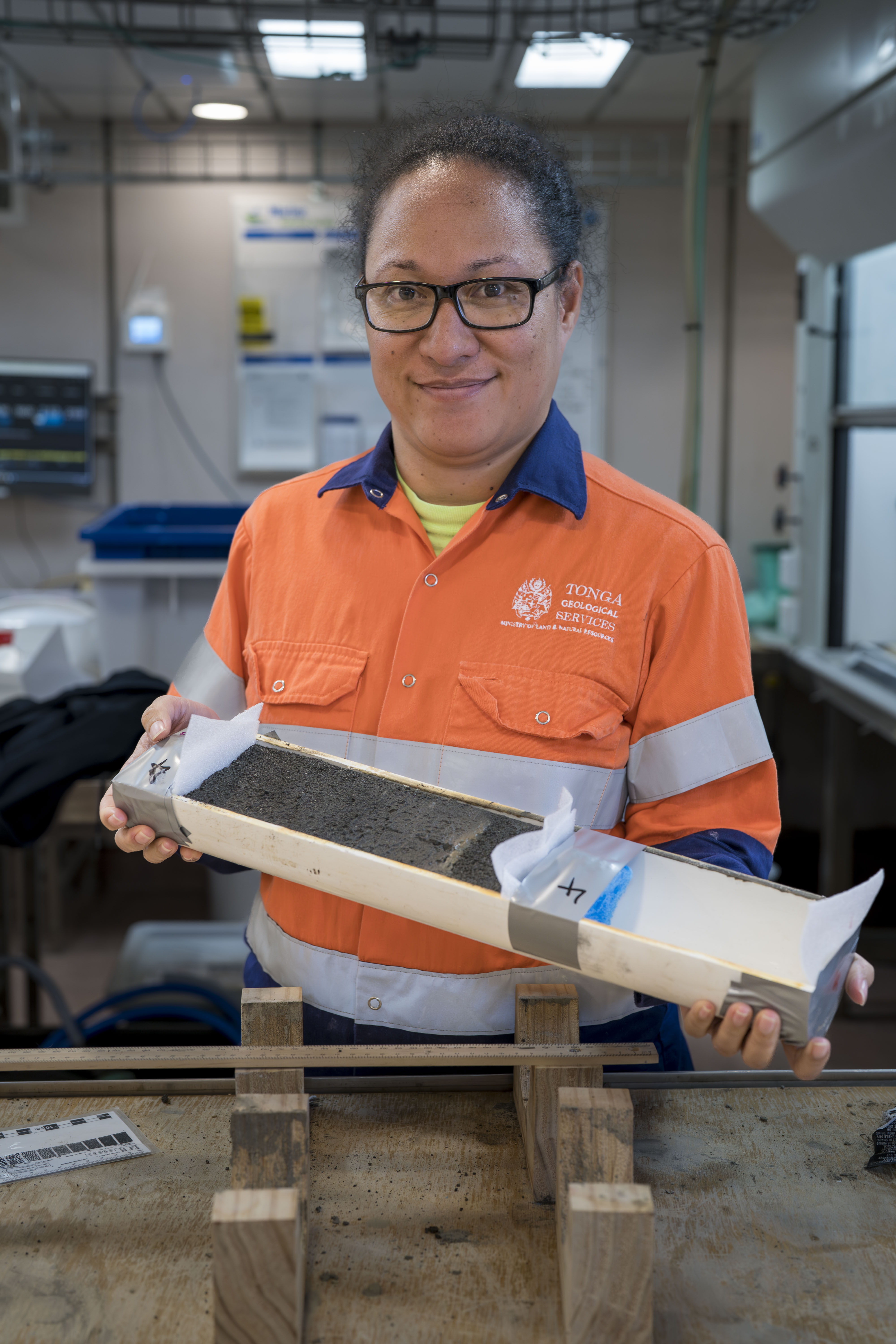
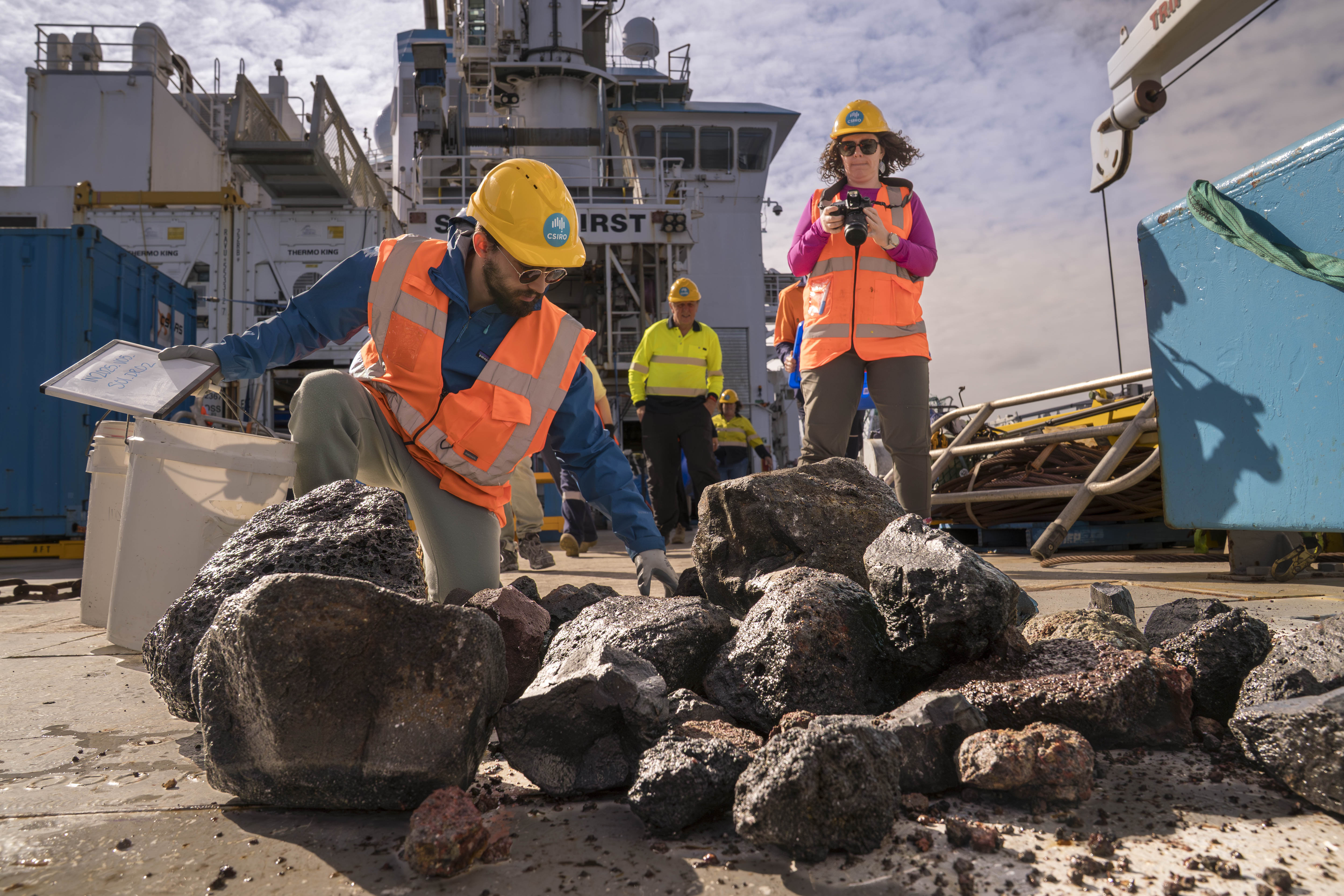
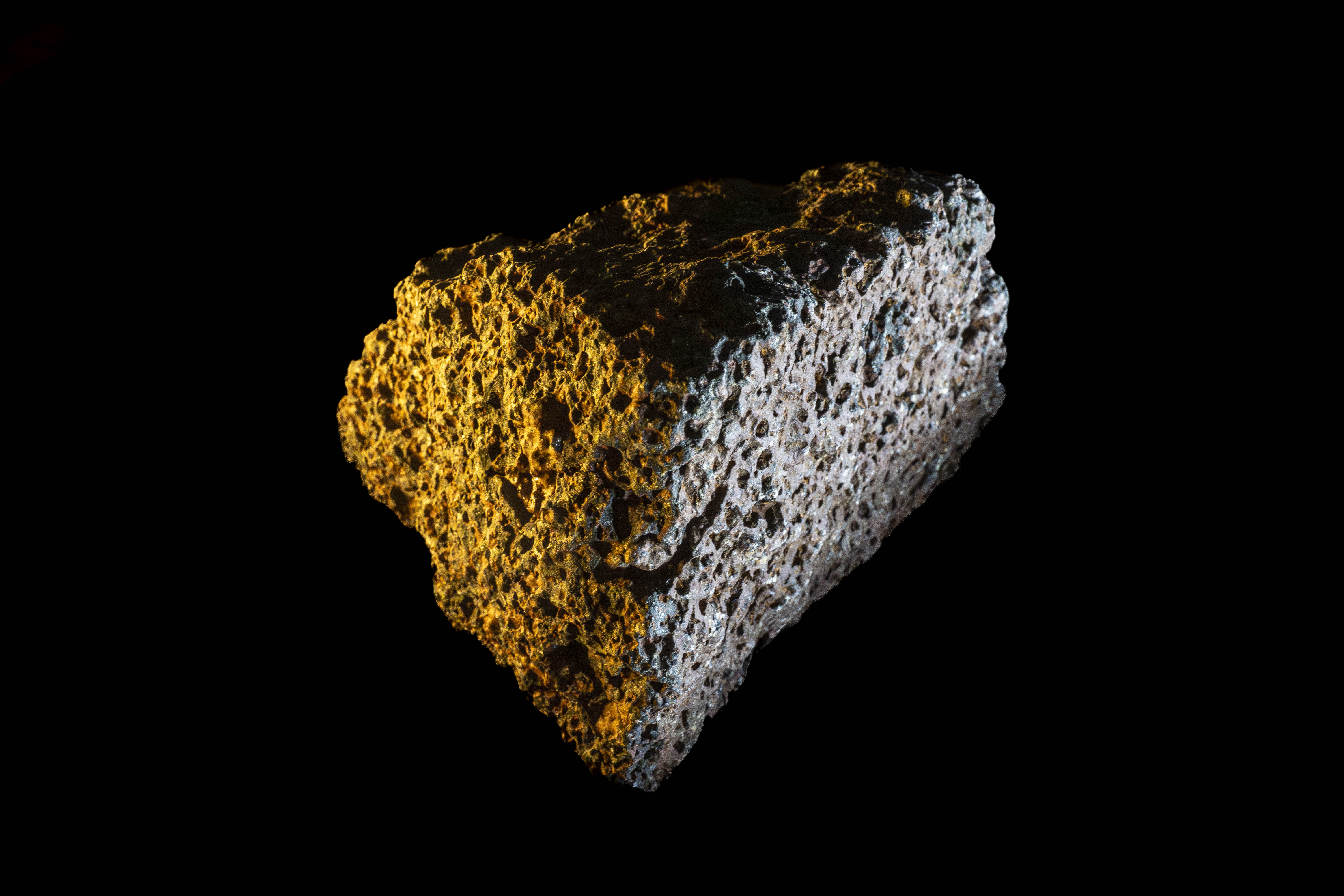
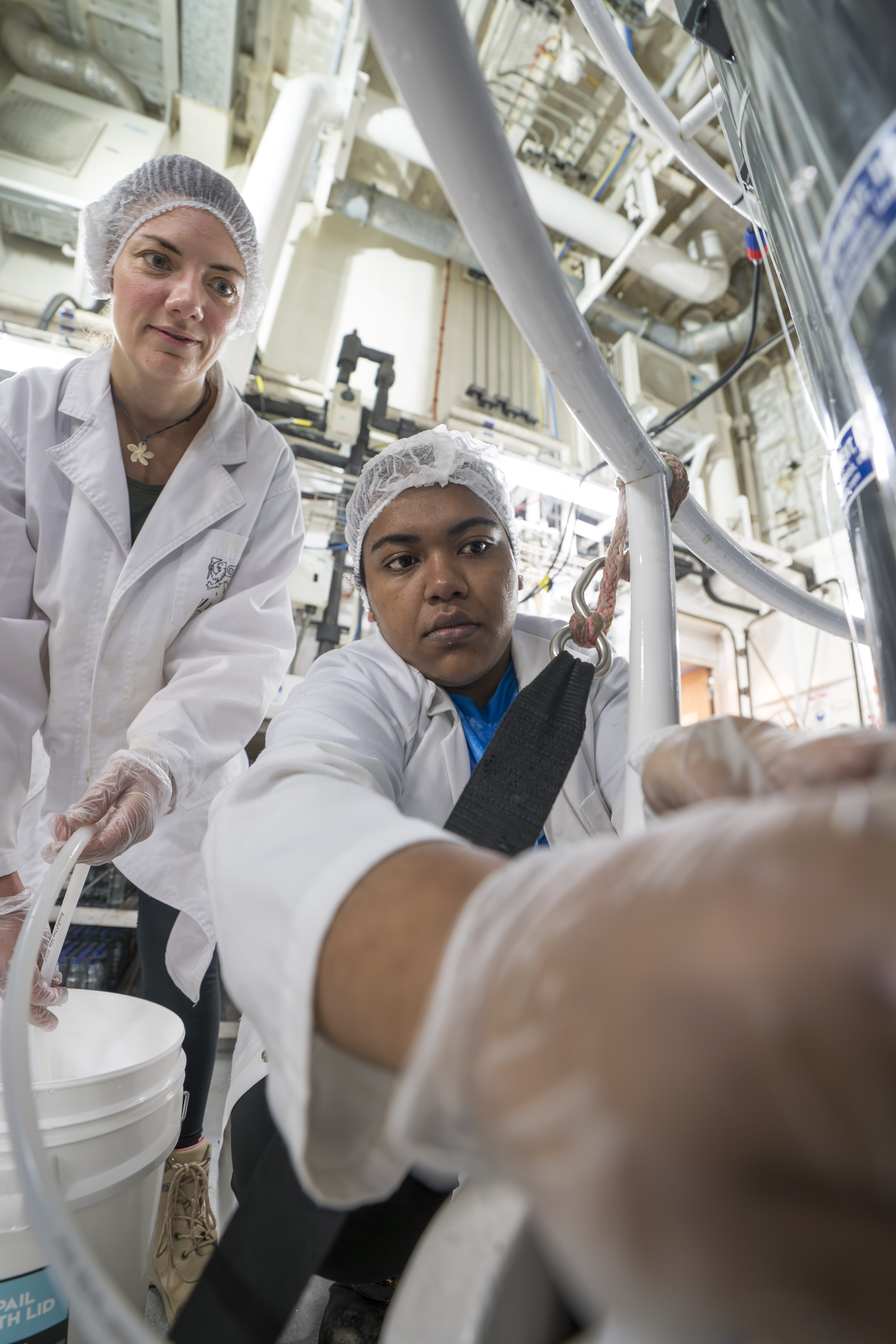
"Our team mapped the seafloor and below, collected seawater and rock samples, extracted sediment cores and collected biological samples and video footage to better understand volcanic processes and the marine ecosystem," said voyage Chief Scientist Associate Professor Rebecca Carey from the University of Tasmania's Centre for Ore Deposit and Earth Sciences.
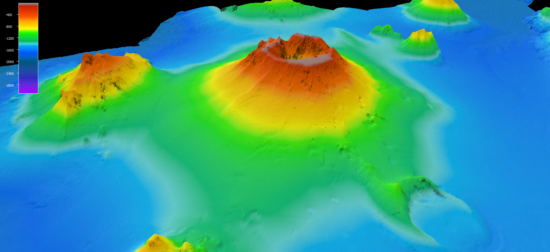
“The mapping we completed was extensive and CSIRO mapping experts onboard were even able to produce an incredible, first-person view of the volcano as if you were standing on the caldera floor,” she said.
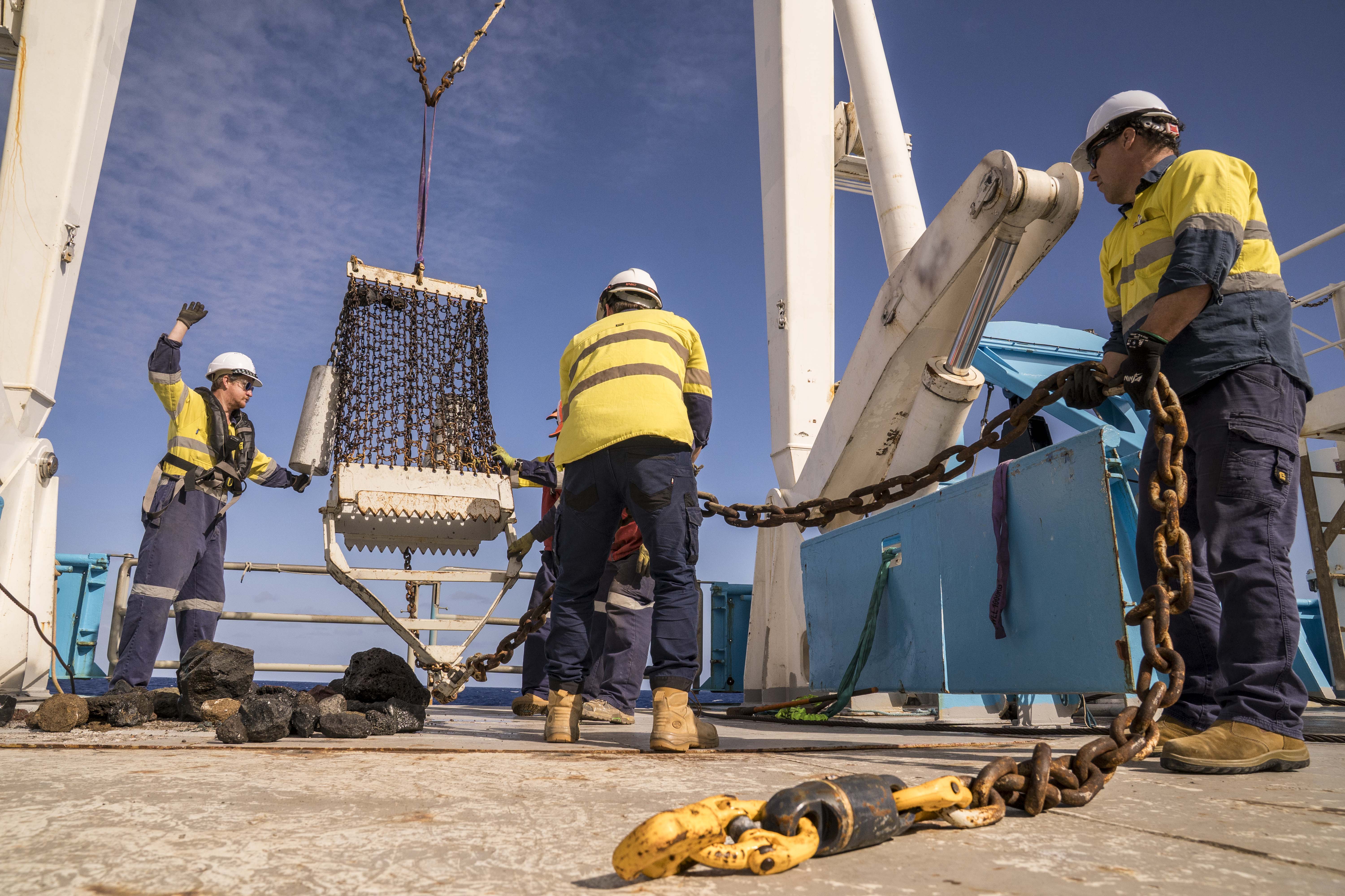
The team used the extensive suite of scientific equipment aboard RV Investigator, including a 24-metre giant piston corer and underwater camera system, to conduct more than 160 scientific operations in and around the submarine volcano.
The science team found eruption deposits extended more than 80 kilometres in all directions of the volcano, with erupted material reaching neighbouring volcanoes. Thick deposits of volcanic mud and ash, described by the researchers as “mud soups”, has created an unstable and shifting seafloor, making it difficult for marine life to gain a foothold.
The eruption also destabilised the volcanic edifice (structure), with erupted material covering the volcano’s summit. The steep slopes of the volcano remain unstable and continue to erode.
Associate Professor Carey said this ongoing instability poses a potential risk of slope failure, which could trigger local tsunamis, highlighting the importance of continued monitoring and hazard planning.
"We have generated data products that will support these hazard assessments, inform risk models and guide recovery planning," Associate Professor Carey said.
"This research will help build and strengthen resilience and preparedness in the region for future volcanic events, and we look forward to sharing our findings and data sets collected during the voyage with Tongan agencies, the Australian government, and our regional partners."
The voyage brought together scientists from Australia, Tonga, Fiji, New Zealand, the UK, and the US.
Mele Manu, Chief Geologist at the Tonga Geological Services (TGS), said the voyage has been important in better understanding geohazards.
“In addition to volcanic hazards, the new seafloor maps reveal that Tonga is also vulnerable to submarine landslides. These can occur due to the steep seamounts on the seafloor and the frequent earthquakes in our region," Ms Manu said.
“Such events could trigger local tsunamis and damage vital underwater infrastructure such as submarine cables. This highlights the importance of strengthening our monitoring and early warning systems to better protect both our coastal communities and national infrastructure.”
CSIRO Marine National Facility Director Toni Moate said the voyage research would help address existential challenges in the Pacific region, including building food security and resilience to natural disasters for the Tongan people.
"RV Investigator is a highly valuable and productive piece of Australia’s research infrastructure and the science we deliver makes a substantial contribution to improving the lives of Australians as well as our neighbours across the Pacific," Ms Moate said.
The research team will now spend months analysing the seafloor mapping data, sediment and rock samples, and biological specimens collected during the voyage, with findings expected to inform Pacific disaster preparedness for years to come.
This research was supported by a grant of sea time on RV Investigator from Australia's Marine National Facility, which is national research infrastructure funded by the Australian Government and operated by CSIRO, Australia's national science agency.
This media release was originally published on the University of Tasmania website.
Note to media
Additional voyage photos and video overlay are available by contacting media@csiro.au