There is a growing amount of geographic location data being used and made available by governments and businesses all over the world. This data is often placed on custom maps in specialised websites which result in high cost of website development, poor reuse of the spatial data, and lost opportunities for innovation using the data.
We've developed Terria™, a platform for web-based spatial data visualisation and analytics that provides access to large numbers of spatial data services directly from the original data custodian and allows users to search, explore, share and add to maps.
New maps can be quickly developed, building on existing spatial data services as well as new cloud-based data services that can be rapidly set up.
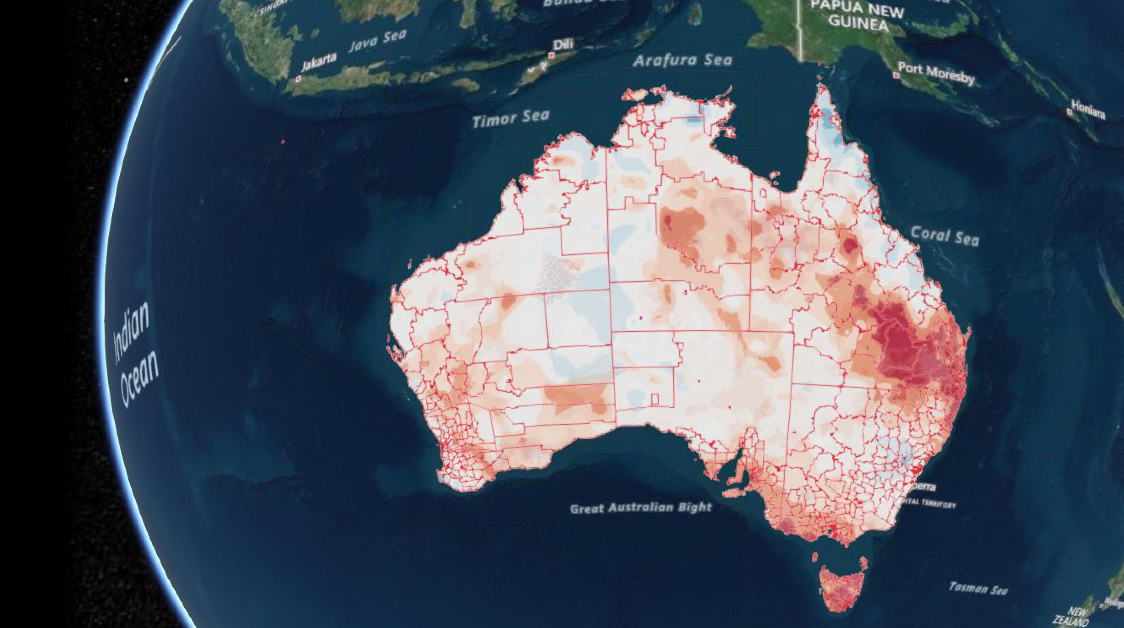
Terria™ maps are being used for policy development, decision-support analysis and in the development of easy-to-use open data websites. For example, the web front-end of the Australian Government's NationalMap and National Drought Map use our TerriaJS™ software.
Using the Terria™ analytics tools we provide advanced spatial inference for a large number of industries including environment, energy, finance, and demographics.
There is a growing amount of geographic location data being used and made available by governments and businesses all over the world. This data is often placed on custom maps in specialised websites which result in high cost of website development, poor reuse of the spatial data, and lost opportunities for innovation using the data.
We've developed Terria™, a platform for web-based spatial data visualisation and analytics that provides access to large numbers of spatial data services directly from the original data custodian and allows users to search, explore, share and add to maps.
New maps can be quickly developed, building on existing spatial data services as well as new cloud-based data services that can be rapidly set up.
Terria™ maps are being used for policy development, decision-support analysis and in the development of easy-to-use open data websites. For example, the web front-end of the Australian Government's NationalMap and National Drought Map use our TerriaJS™ software.
Using the Terria™ analytics tools we provide advanced spatial inference for a large number of industries including environment, energy, finance, and demographics.